
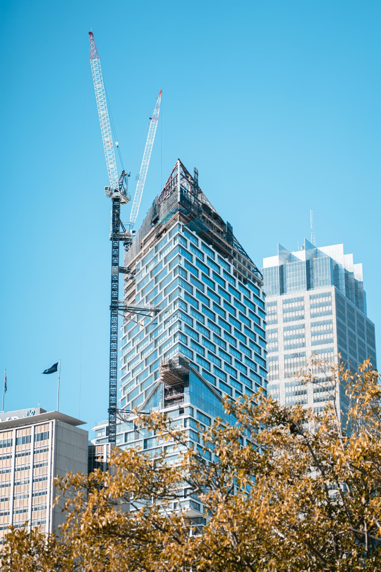
Every area, every volume, surveyed in one flight
RTK-corrected photogrammetry with ± 3 cm accuracy: point clouds, textured 3D models, orthophotos and terrain models, ready for AutoCAD, Revit, ArchiCAD and BIM.
What is measured does not have to be estimated.
Hundreds of overlapping images with exact RTK positions produce a three-dimensional representation of a building, plot or construction site. From it we read areas, heights, volumes and changes over time. Inaccessible spots such as roof edges, steep pitches and courtyards become measurable, without scaffolding and without repeated site visits.
What you receive
Point cloud & 3D model
RTK-corrected, textured, ± 3 cm. As LAS / E57 and OBJ for your planning software.
Orthophoto & terrain model
Georeferenced as GeoTIFF, with contour lines as DXF.
Volumes & quantities
Excavation, fill and stockpiles in m³, proven instead of estimated.
Construction progress
The same angles per milestone, comparable over time, with a progress reel on request.
From briefing to report
Requirements
Clarify accuracy, formats and target software. Ground control points on request.
Flight
Grid flight with RTK correction, oblique images for facades and details.
Processing
Photogrammetric calculation, georeferencing, quality check of accuracy.
Handover
Data in your formats within five working days, briefing on request.
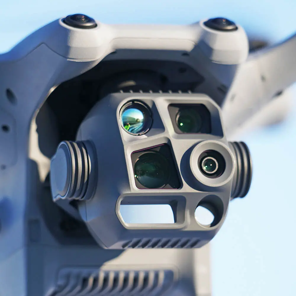
The technology behind it
Industries that benefit
For everyone who plans, builds, inspects or invoices.
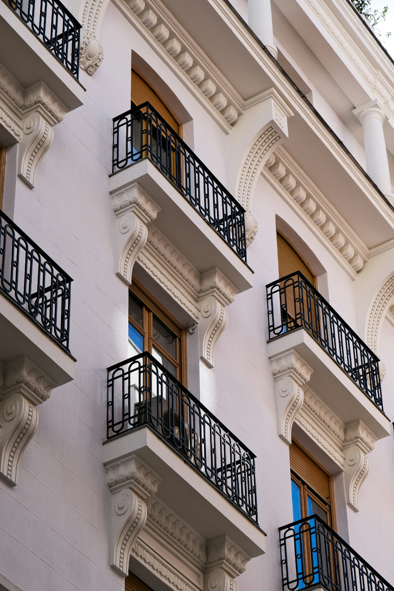
Architects & Planning Offices
Verified as-built data instead of assumptions from decades-old drawings: point clouds and 3D models accurate to ± 3 cm.
Developers & Construction Companies
From first excavation to handover: evidence volumes, document progress, inspect the building envelope before acceptance.
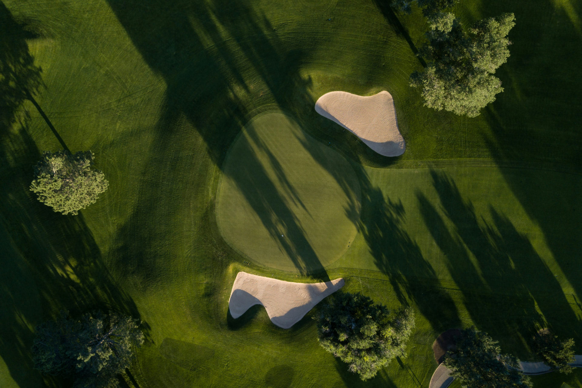
Golf Clubs
Irrigation diagnosed from the air: leaks and drought stress found before the turf turns brown. Without closing a single flight.
Insurance Brokers & Loss Adjusters
Damage imagery with timestamp and geodata: traceable evidence for storm, hail and water damage, without scaffolding or height access.
Building Management
Every roof and façade documented: no scaffolding costs, no disturbed residents, with a prioritised report in 48 hours.
Roofing & Waterproofing Companies
Moisture ingress and thermal bridges located thermally: scope of repair evidenced, quotes more precise, rework rarer.
Packages by industry
From the as-built survey of a property to monthly construction site documentation.
Frequently asked questions
With RTK correction we achieve ± 3 cm in position and height. For higher requirements we add ground control points and document the achieved accuracy in the inspection log.
No. We deliver verified planning and documentation data. Official surveys remain with the licensed surveyor, who can work with our data.
LAS / E57 for point clouds, OBJ for textured models, GeoTIFF for orthophotos and terrain models, DXF for CAD. Other formats on request.
Your property, to the centimetre.
Describe your property and your question. You receive a tailored proposal within two working days.
Confidential, without obligation, answered within two working days.