Architects & Planning Offices
Verified as-built data instead of assumptions from decades-old drawings: point clouds and 3D models accurate to ± 3 cm.
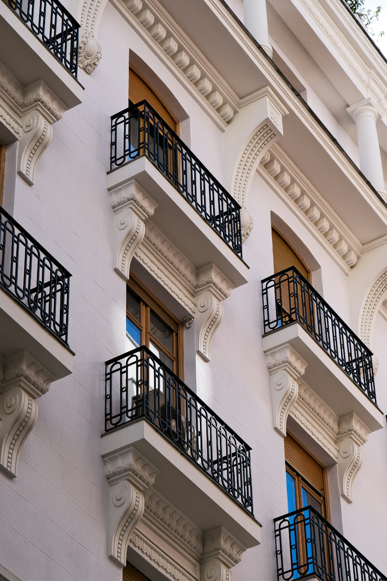 AI-generated
The situation
Renovations and refurbishments rarely fail at the design stage, they fail at the data stage: as-built plans from the 1980s, inaccessible roof edges, enclosed courtyards. Every missing measurement means another site visit, every assumption a risk in the project.
Our approach
The FANTM 4TD captures building, roof and plot in a single flight: RTK-corrected point clouds and textured 3D models at ± 3 cm accuracy deliver the verified survey your design can build on. Radiometric thermography adds condition to the geometry: moisture, render delamination and thermal bridges become visible before you design. For the Inspección Técnica de Edificios, we supply documented, radiometric findings of façade and roof: you assess and sign.
Services at a glance
- Point clouds and 3D models at ± 3 cm accuracy as a verified planning basis
- The inaccessible made measurable: roof edges, steep slopes, courtyards, no scaffolding and no repeat visits
- Thermal diagnostics for renovation concepts, damage analysis and client conversations backed by measured values
- ITE findings documented flight-ready: a recurring service for your existing clients
- Construction progress per milestone: same angles, comparable over time
- Data in your formats: LAS / E57, OBJ, GeoTIFF, DXF. Ready for AutoCAD, Revit, ArchiCAD and BIM
Promotion & Aerial Media
After the as-built survey comes completion: portfolio films that show rooms and volumes as they were designed, in one take from exterior to interior. 360° panoramas document before and after from an identical position.
- Portfolio film exterior to interior in one take
- 360° panoramas as a before-and-after pair
- Stills and reels for competitions, website and publications
Three tiers for Architects & Planning Offices
Three tiers that start where planning begins: with a verified as-built survey.
Aerial Survey
For conversion, refurbishment and as-built surveys of a property
One-off- RTK-corrected point cloud and textured 3D model with ± 3 cm accuracy
- Orthophoto of roof and plot with scale and georeference
- Roof edges, steep pitches and courtyards captured without scaffolding
- Export to LAS / E57, OBJ, GeoTIFF and DXF for AutoCAD, Revit, ArchiCAD and BIM
- Delivery within five working days of the flight
Aerial Survey+
For refurbishment concepts and ITE findings
One-off- Everything in Aerial Survey
- Radiometric thermography of facade and roof: moisture, thermal bridges, render delamination
- Prioritised, photo-documented condition report within 48 hours
- Findings for the Inspección Técnica de Edificios documented and ready to file
- Review meeting with your planning team to interpret the readings
Aerial Project
For projects from as-built survey to completion
Project-long- Everything in Aerial Survey+
- Construction progress per milestone from identical angles, comparable over time
- Volume and quantity take-off from photogrammetry in m³
- Completion film and 360° panoramas as a before and after pair for your portfolio, flown with the FANTM Avata 360
- Dedicated contact and prioritised scheduling for the duration of the project
Every package is calculated as a tailored proposal and depends on the property, area, frequency and scope of work. On request, we start with a limited pilot phase.
All packages at a glanceHow it works
Three steps from enquiry to result: an individual proposal, a flight within days, data and report within 48 hours.
Name the project
You name a building, a site or an installation. We reply with an individual proposal, tailored to your project.
We fly
Flown within days: RTK corrected, fully insured, without disturbing your operation.
Data & report
Point cloud, orthophotos, 3D model or condition report within 48 hours, in your formats.
Give us a project
You receive an individual proposal and a pilot flight on special terms for your first property. Dataset and report within 48 hours of the flight.
All enquiries are treated in strict confidence.