
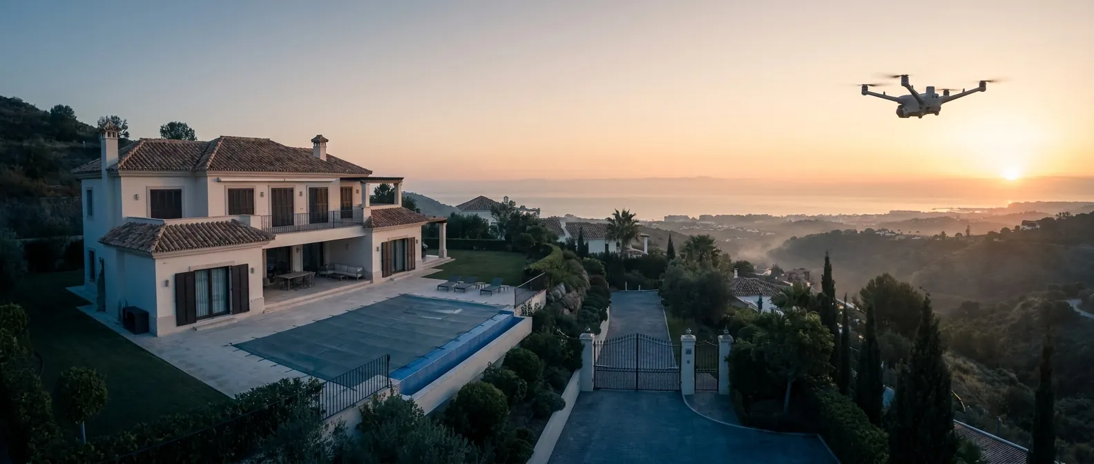
Three platforms One watch
A considered system. Not one aircraft, but three, a resident sentinel that never leaves the property, a mobile platform brought in when a situation demands precision, and a long-endurance platform for the largest sites.
Every FANTM deployment is composed of these platforms working in quiet coordination: continuous autonomous presence from a docking station, rapid manual reach when the moment requires it, and extended endurance when the perimeter is measured in kilometres. The result is a watch that is both persistent and precise.
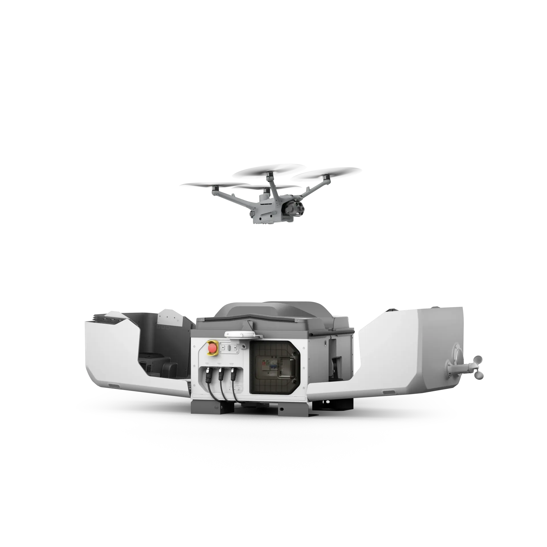
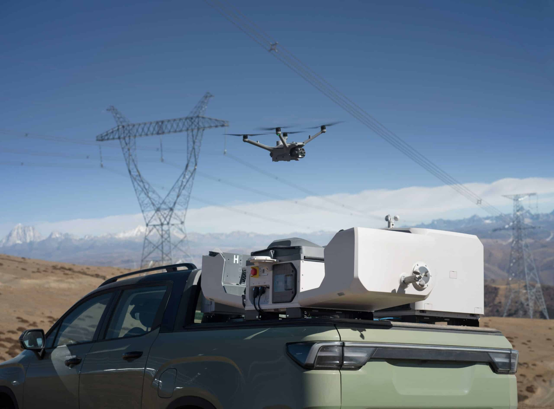
FANTM 4TD + FANTM Dock
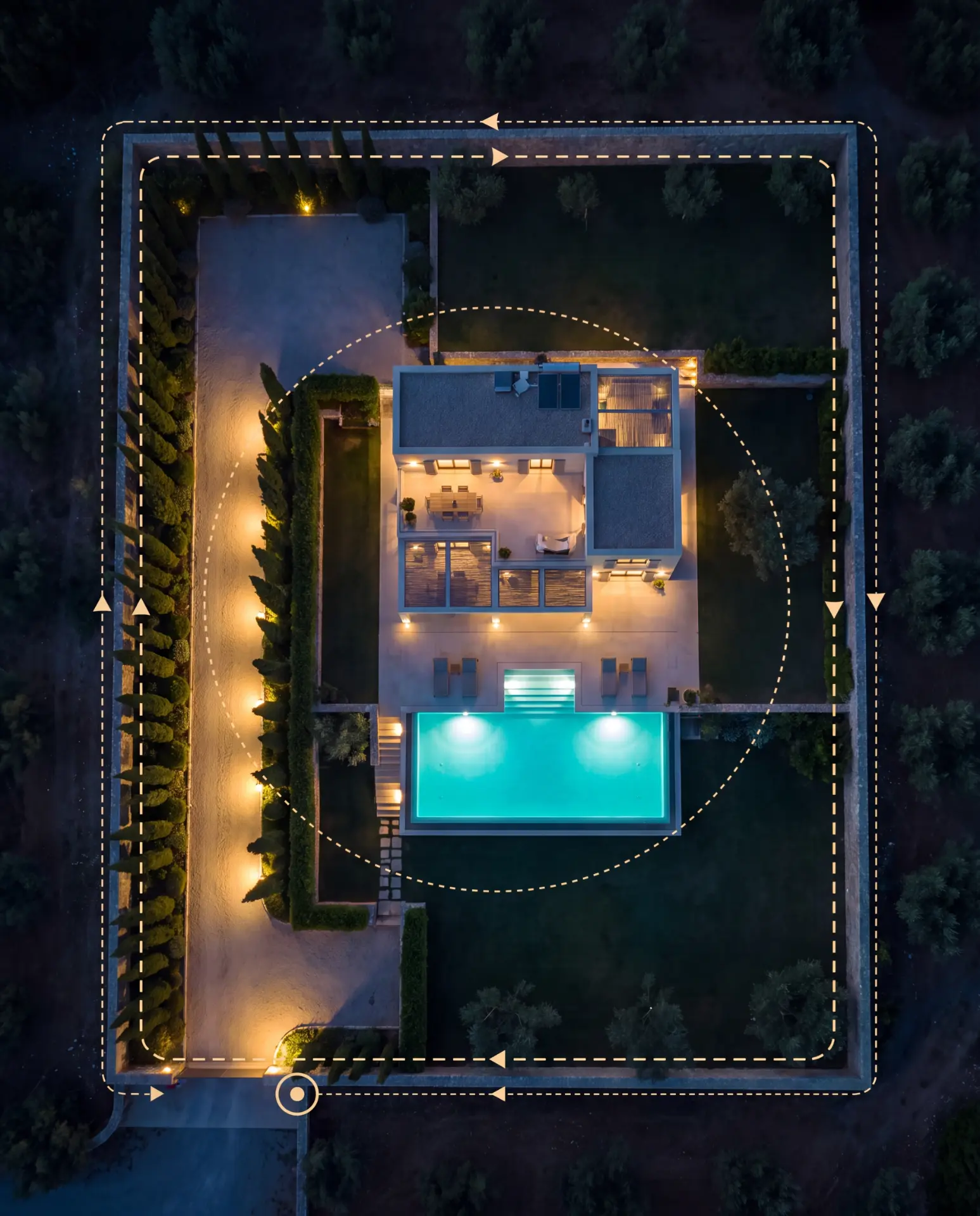
Our permanently installed platform. From a weatherproof docking station it runs scheduled and alarm-triggered patrols entirely on its own, no pilot on site, remotely supervised, all through the seasons.
- Autonomous launch, patrol, return and recharge
- All-weather docking station for continuous readiness
- Remotely operated and supervised over encrypted link
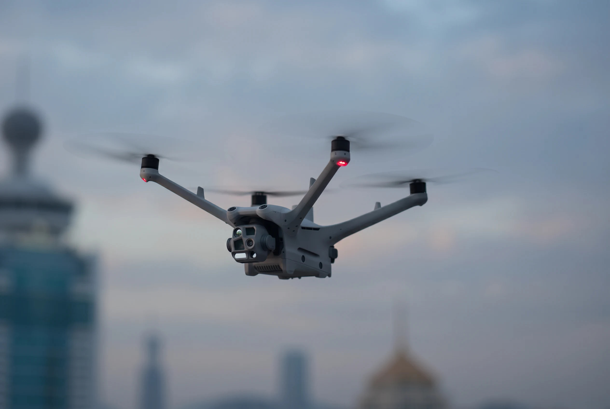
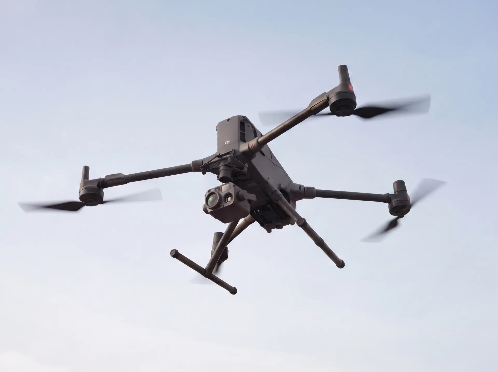
FANTM 4TD
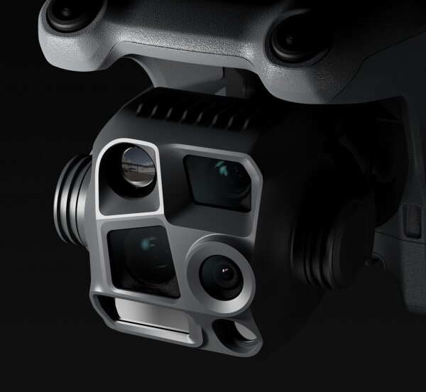
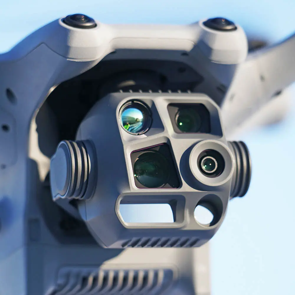
Our agile mobile platform, built for night and low-light work. The FANTM 4TD combines wide, medium-tele and tele cameras with radiometric thermal imaging, AI-assisted detection and laser measurement for rapid verification and documentation, day or night.
- Low-light starlight sensors: clear imagery at night without additional lighting
- Radiometric 640 × 512 thermal plus wide/medium-tele/tele cameras for one-pass assessment
- AI detection of people, vehicles and vessels; laser ranging up to 1,800 m
- Night Scene mode, NIR light, spotlight and speaker for deterrence
- IP54 weather protection and 12 km encrypted transmission (CE) per manufacturer specification, dock-ready for later automation
 Coming soon
FANTM 400
Coming soon
Our long-endurance platform. Built for the largest estates, coastal sites and operations that call for hours of coverage, heavier sensors or reach far beyond the perimeter, day or night.
- Up to 59 minutes in the air and 40 km of encrypted transmission range
- 6 kg payload capacity for thermal, zoom, LiDAR or lighting configurations
- 360° LiDAR obstacle sensing for confident flight in low light
The FANTM 400 is joining our fleet shortly. If it is of deeper interest, do get in touch with us and we will share the details.
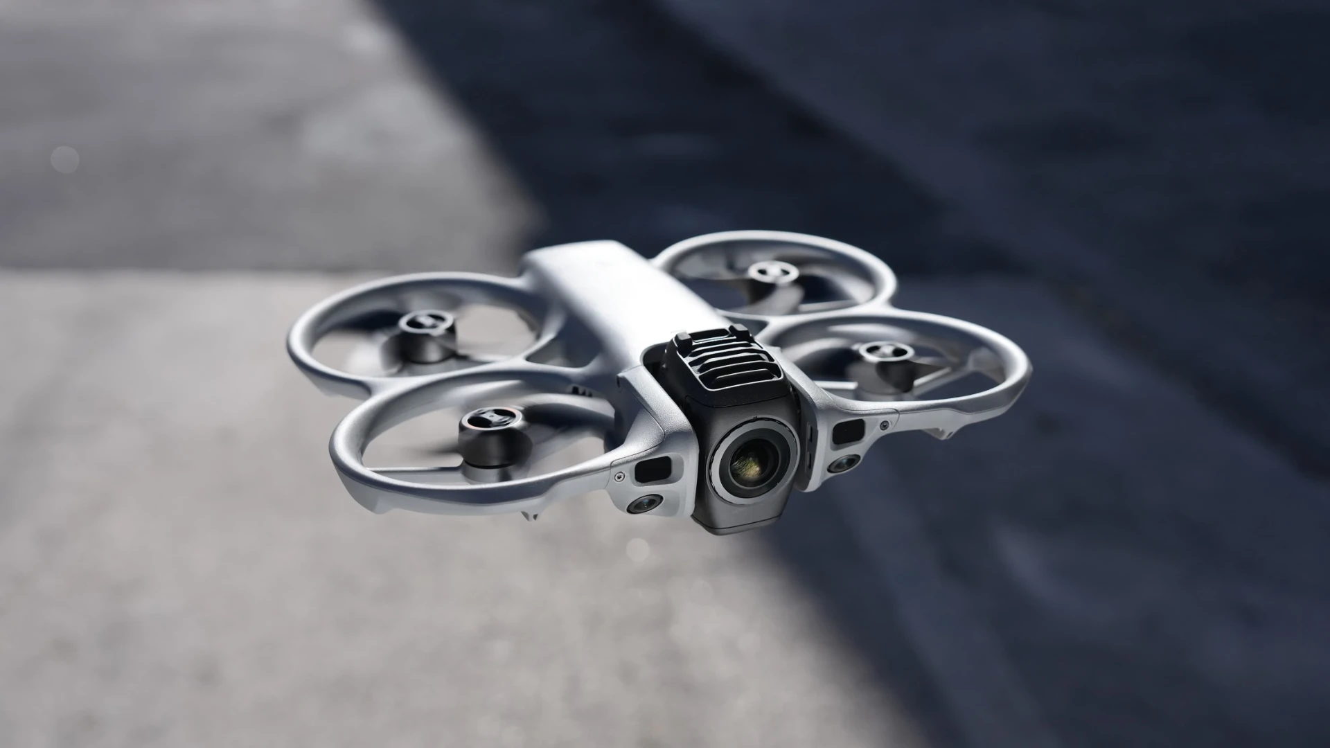
FANTM Avata 360
The motion-picture platform in our fleet: one flight, one 360° image, and the framing is decided afterwards. From the street through the gate, over the pool and through the terrace doors into the living room, in a single take. The integrated propeller guards make indoor flights and tight spaces possible.
- 360° HDR video in 8K at 60 frames per second and 120 MP 360° photos: enough resolution for sharp crops in every format.
- Fly first, frame later: one flight yields the reel (9:16), the landing-page film (16:9), teasers and interactive aerial panoramas.
- Single-lens mode at 4K/60 fps for classic camera moves when 360° footage is not required.
- Integrated propeller guards, omnidirectional obstacle sensing and forward LiDAR: safe flights through gates, interiors and across terraces.
- EU class C1, operated in the open category A1: usable in residential areas, always with the owner's consent and never over crowds.
The same platforms, seen in the field
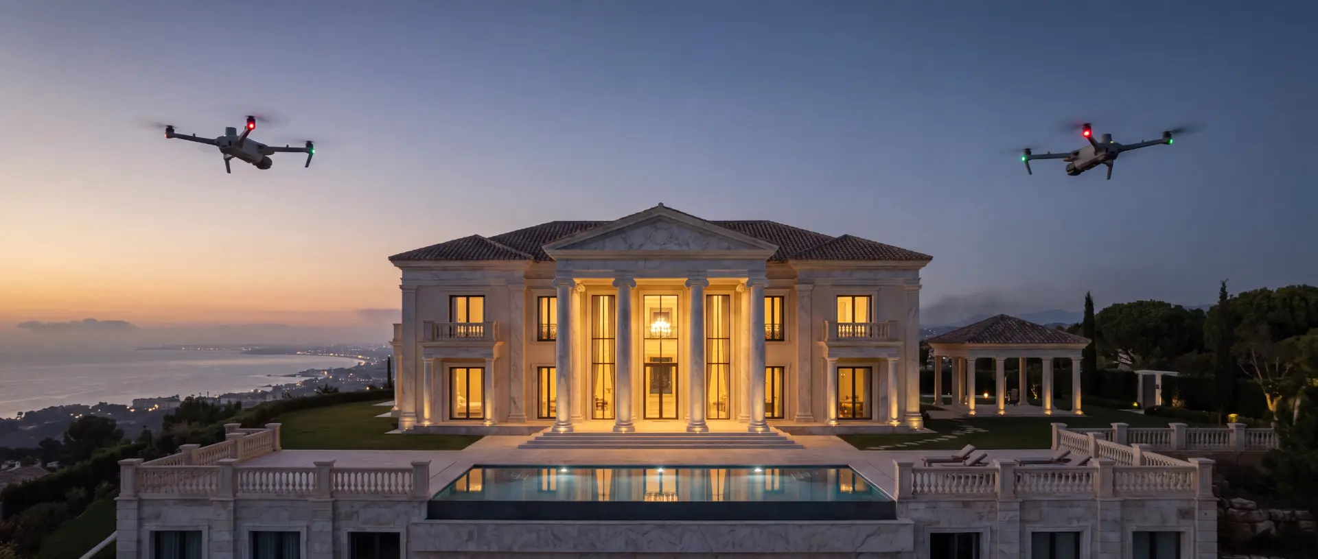
Our platforms at work: over water, in flight, at the dock and above built-up ground.
Every term, briefly explained
Tap any term and get the explanation in two sentences, with no technical background required.
One fleet Every angle
The same technology, many different tasks. What your sector gains from it, concretely:
 AI-generatedSurveying & 3D Mapping
Architects & Planning Offices
Verified as-built data instead of assumptions from decades-old drawings: point clouds and 3D models accurate to ± 3 cm.
- Point cloud and 3D model accurate to ± 3 cm
- Delivered as DWG, IFC or point cloud
- No repeated site visits for measurement
 AI-generatedSurveying & 3D Mapping
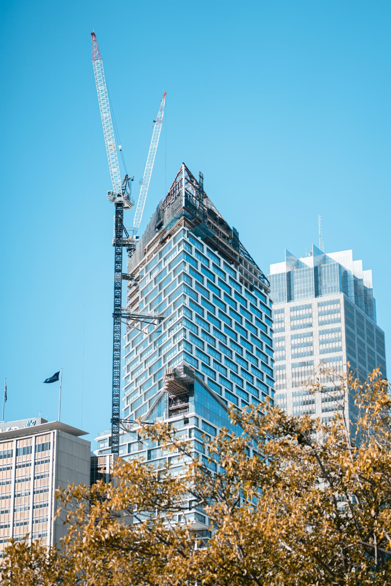
Developers & Construction Companies
From first excavation to handover: evidence volumes, document progress, inspect the building envelope before acceptance.
- Excavation and fill volumes evidenced in m³
- Construction progress as a dated image series
- Building envelope checked before acceptance
 AI-generatedBuilding Damage Analysis & Thermography
Building Management
Every roof and façade documented: no scaffolding costs, no disturbed residents, with a prioritised report in 48 hours.
- Prioritised condition report within 48 hours
- Photographic evidence per element, roof to plinth
- A decision basis for the owners' meeting
 AI-generatedBuilding Damage Analysis & Thermography
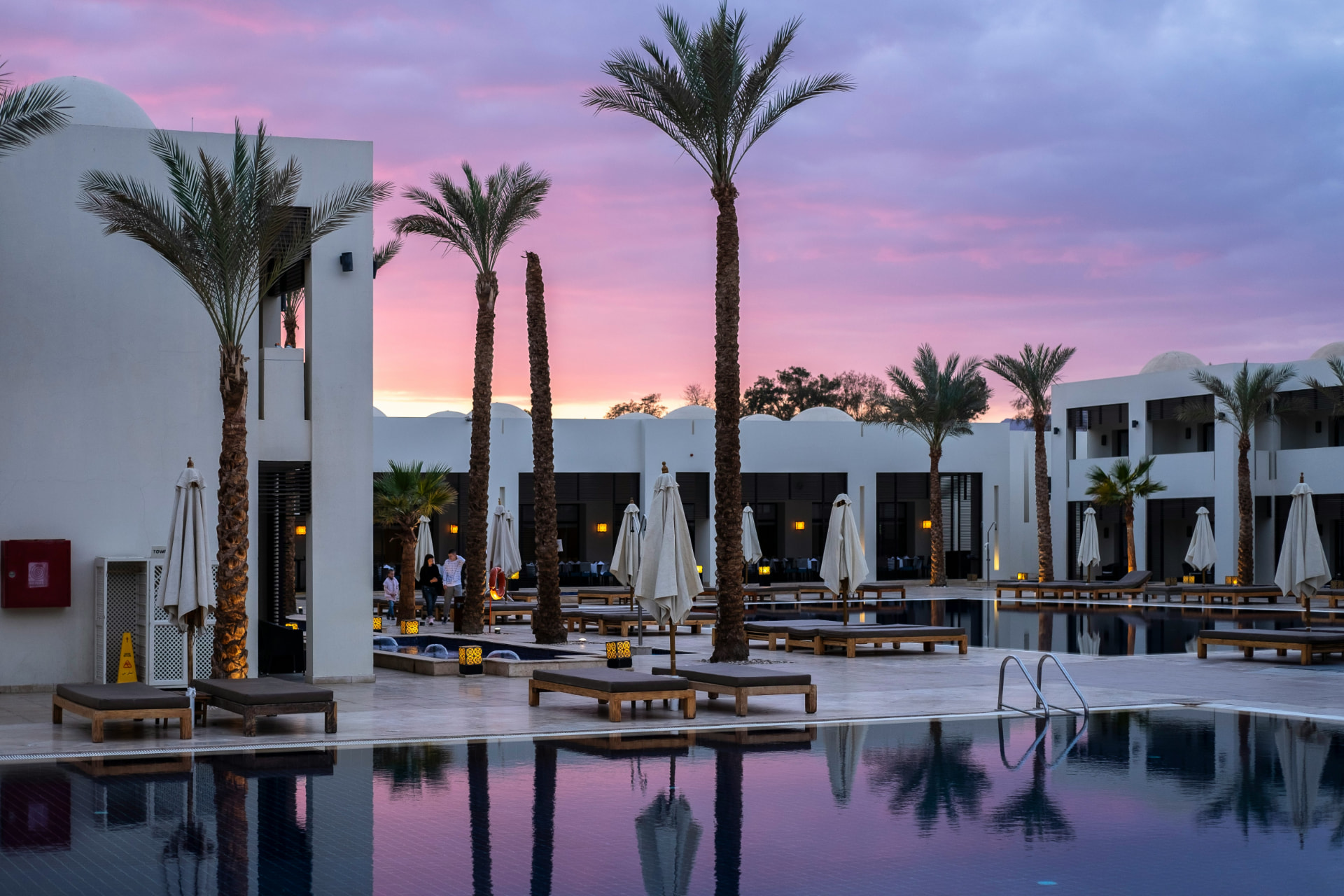
Hotels & Resorts
Inspection and thermography without interrupting operations: flown before breakfast service, invisible to your guests.
- Thermography of the entire building envelope
- Flown before service begins, unseen by guests
- No room closed, no scaffolding cost
 AI-generatedBuilding Damage Analysis & Thermography
Golf Clubs
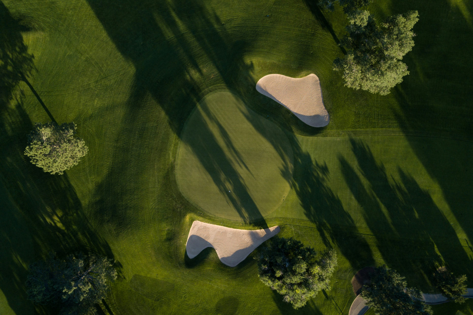
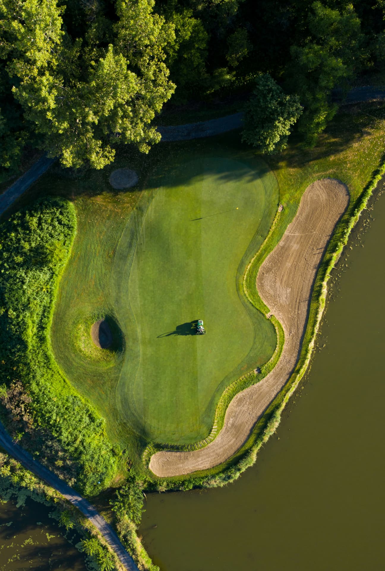
Irrigation diagnosed from the air: leaks and drought stress found before the turf turns brown. Without closing a single flight.
- Drought-stress and leak map of the course
- Assessment hole by hole
- Play continues without closures
 AI-generatedBuilding Damage Analysis & Thermography
Solar & PV Operators
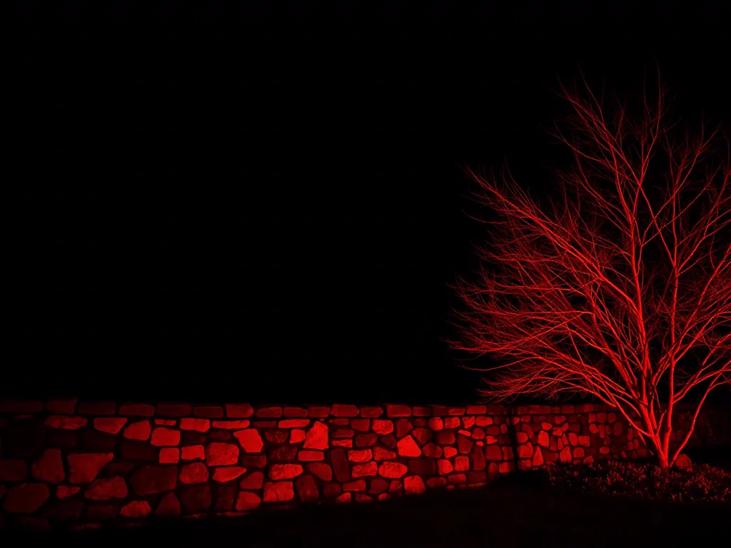
Yield losses made visible: radiometric inspection to IEC TS 62446-3, a fault report per module, white-label on request.
- Fault report per module to IEC TS 62446-3
- IR imagery mapped to each module
- Usable for warranty and yield claims
 AI-generatedDrone Security
Property Managers & Community Administrators
Entire communities captured in one flight: a condition report per building, shared areas documented, maintenance planned by priority.
- Several buildings captured in one flight
- A consistent report per property
- Shared areas and pathways included
 AI-generatedBuilding Damage Analysis & Thermography
Insurance Brokers & Loss Adjusters
Damage imagery with timestamp and geodata: traceable evidence for storm, hail and water damage, without scaffolding or height access.
- Documentation with timestamp and geodata
- Audit-proof image series per damage point
- Settlement without a lift or height access
 AI-generatedBuilding Damage Analysis & Thermography
Roofing & Waterproofing Companies
Moisture ingress and thermal bridges located thermally: scope of repair evidenced, quotes more precise, rework rarer.
- Moisture ingress located before opening up
- Scope of repair evidenced by area
- A defensible basis for your quotation
 AI-generatedSurveying & 3D Mapping
Real Estate Agencies
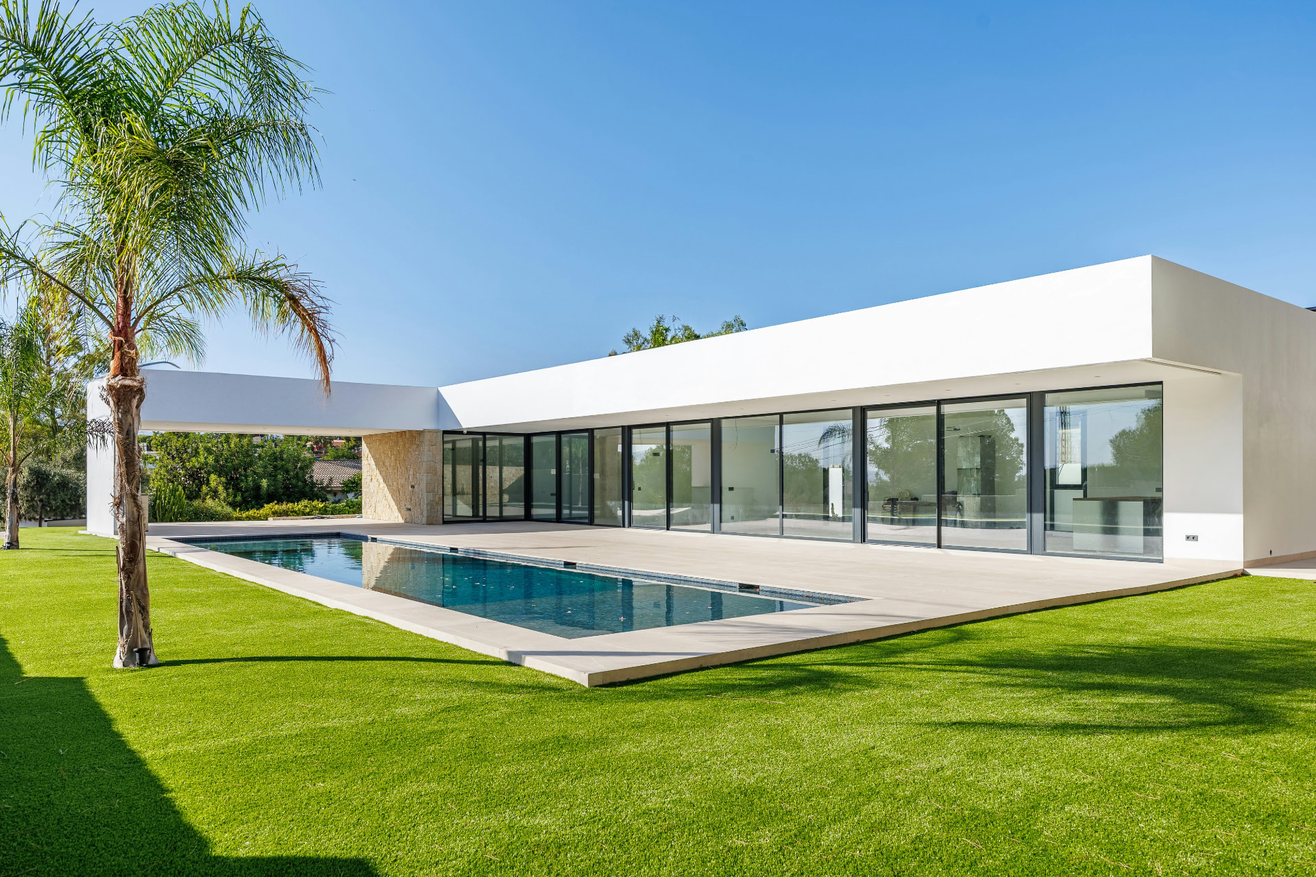
Listings that build trust: aerial imagery, location context and a verified building condition as a solid basis in the sales process.
- Aerial imagery and context in sales quality
- Verified building condition in the listing pack
- One visit for marketing and inspection
 AI-generatedPromotion & Aerial Media
Marinas, Charter & Car Dealers
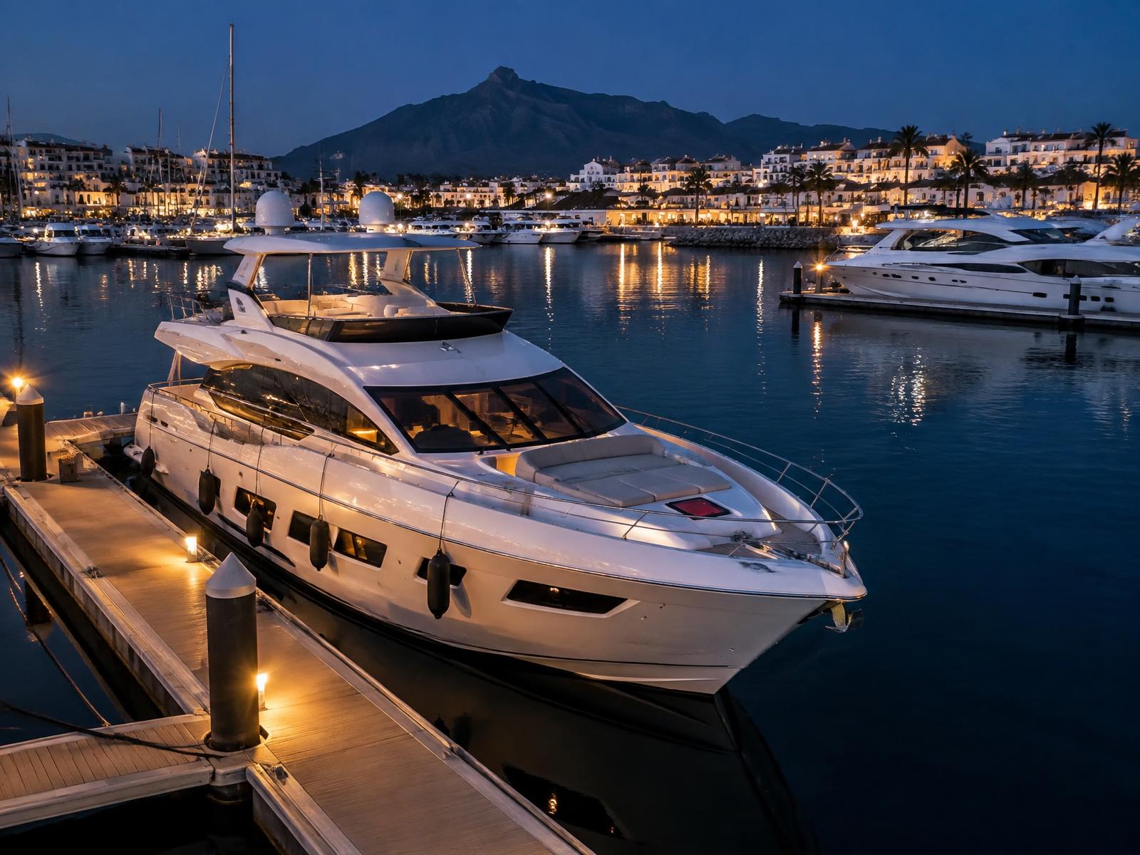
Puerto Banús on the doorstep: yacht walkthroughs from the pontoon over the deck into the saloon, charter fleets on film and luxury cars with tracking shots at handover.
- Yacht walkthrough pontoon to saloon in one take
- Fleet and charter film for booking pages
- Vehicle tracking shots and handover reels
 AI-generatedDrone Security
Private Estates & Villas
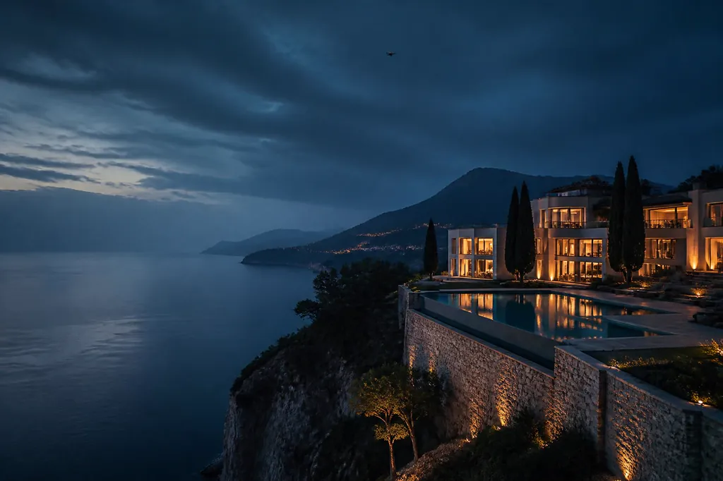
Discreet, continuous protection for family homes and Mediterranean estates, felt by residents, noticed by no guest.
- Nightly thermal patrols along the boundary
- Alarm-triggered launch within seconds
- Silent, unmarked operation
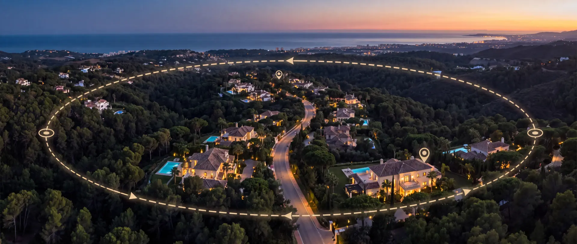 AI-generatedDrone Security
Gated Communities & Urbanisations
Shared aerial coverage over common areas, access roads and boundaries, with one route for the whole neighbourhood.
- One patrol route for many owners
- Checkpoints at strategic villas
- Cost shared across the community
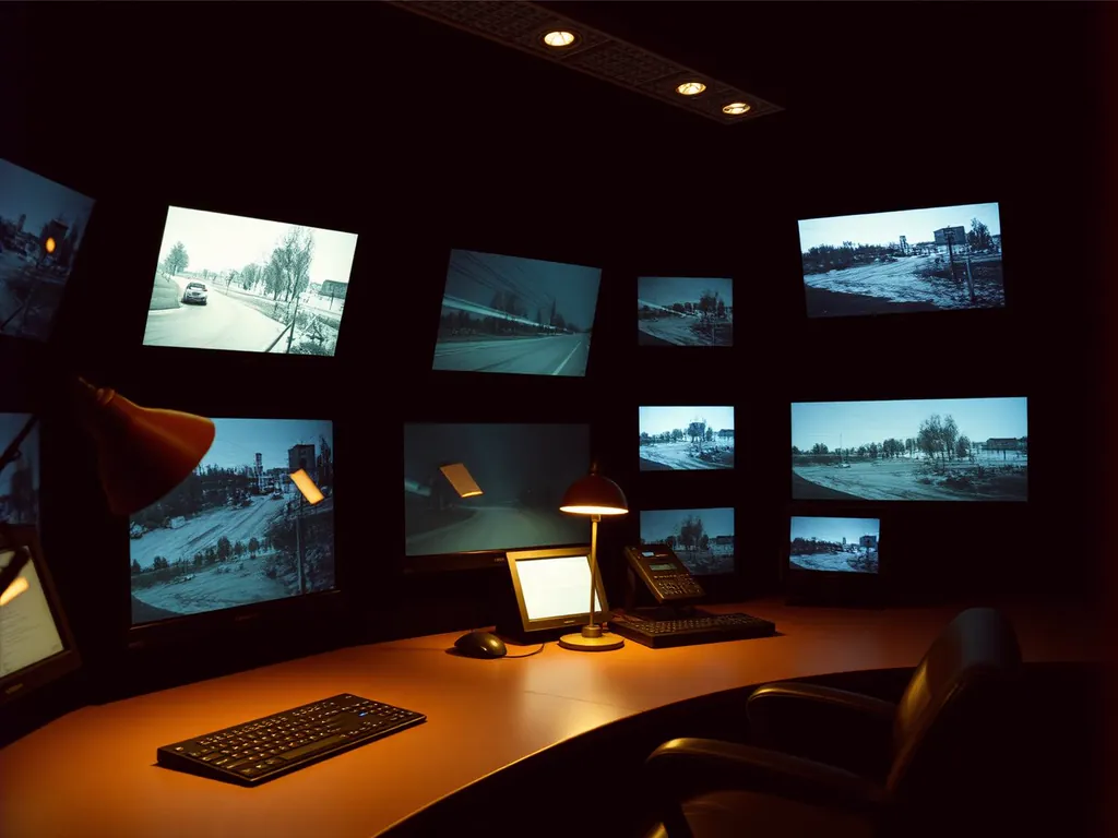 AI-generatedDrone Security
Corporate Campuses
Perimeter surveillance for headquarters and business parks, integrated into the security organisation already in place.
- Encrypted live stream into the control room
- Integration with existing alarm systems
- Documented event logs
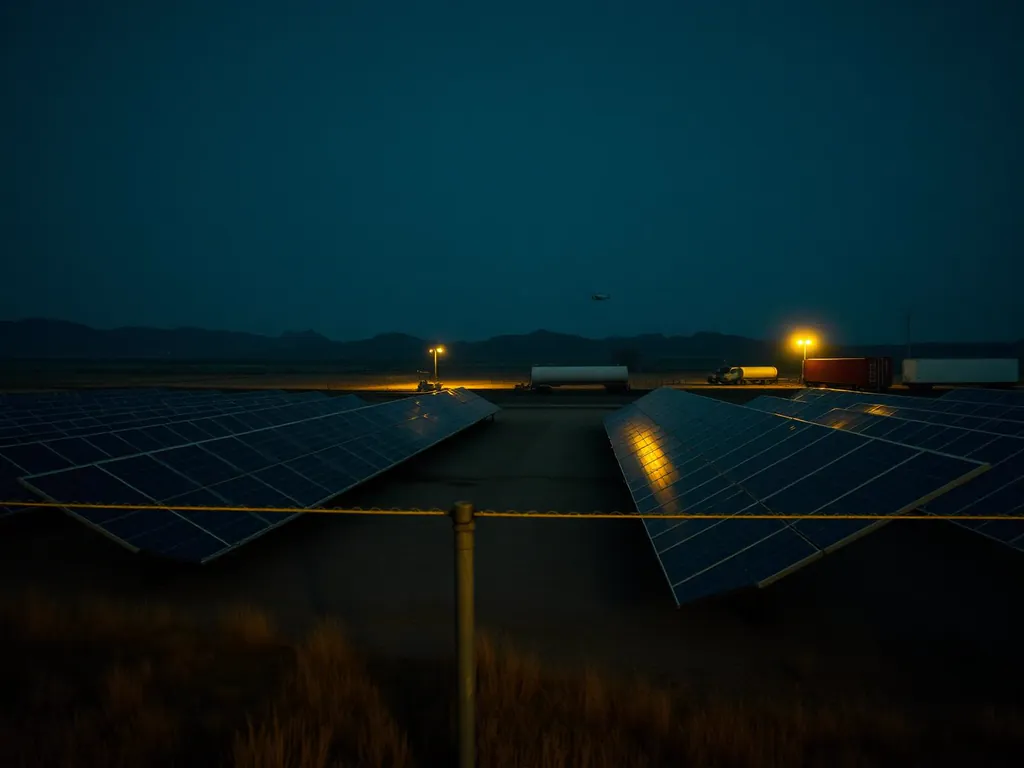 AI-generatedDrone Security
Industrial & Logistics Sites
Yards, warehouses and storage covered without gaps, with no blind spots and no night shifts on foot.
- Large areas covered in a single pass
- AI detection of people and vehicles
- No staff exposed to night-time risk
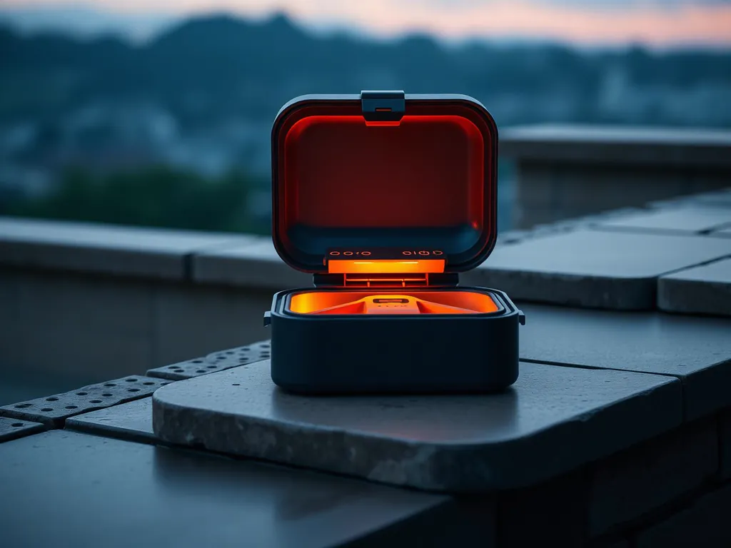 AI-generatedDrone Security
Critical Infrastructure & Energy
Continuous monitoring of large, sensitive or hazardous installations, safely, from the air.
- Autonomous patrols on a fixed schedule
- Thermal anomalies detected early
- Access without entering the hazard zone
 AI-generatedDrone Security
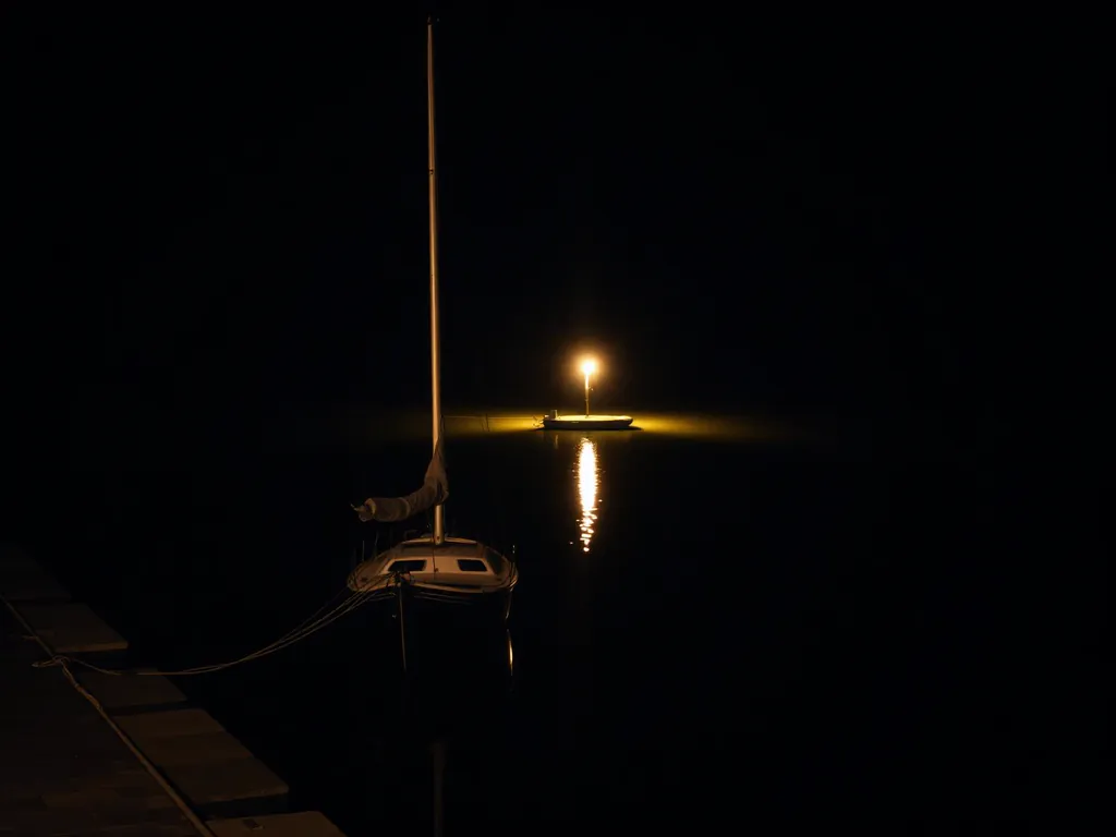
Ports, Marinas & Coastal Sites
Vessels, quays and coastal approaches watched around the clock, by day and by night.
- Detection of vessels and people on the water
- Night vision across quays and pontoons
- Rapid verification from the air
 AI-generatedDrone Security
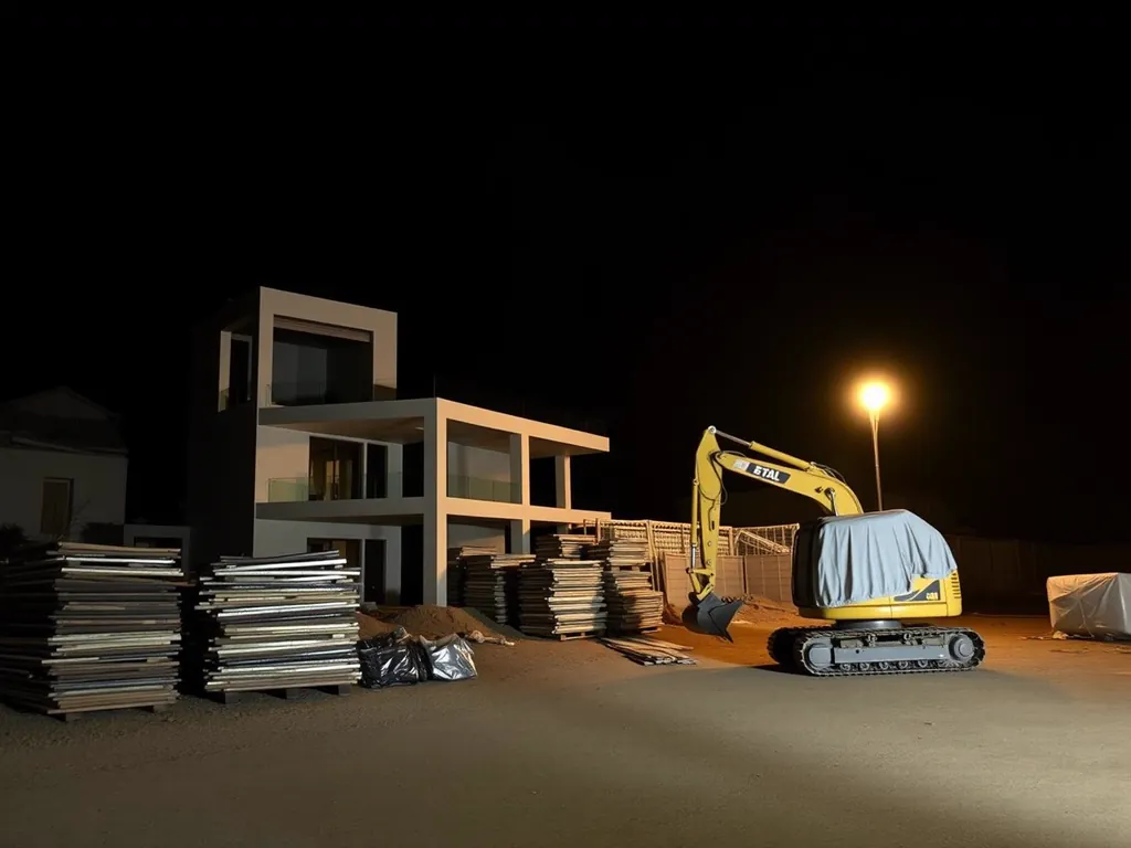
Construction & Development
Active sites protected against intrusion and theft, with a documented record across the whole build.
- Night surveillance of materials and machinery
- Dated image series across the build
- Evidence for insurer and client
 AI-generatedDrone Security
Public Authorities & Institutions
Discreet aerial support with certified operators, complete documentation and coordination with the relevant bodies.
- Certified pilots, fully insured
- Complete flight and event documentation
- Coordination with the competent authorities
Your sector is not listed? We review every project personally and develop the most sensible route to the result.
Discuss your sectorDiscuss a deployment, in confidence
Every property calls for a different configuration. We assess your grounds in person and propose a system tuned to their exact geometry, discreetly, and without obligation.