
Developers & Construction Companies
From first excavation to handover: evidence volumes, document progress, inspect the building envelope before acceptance.
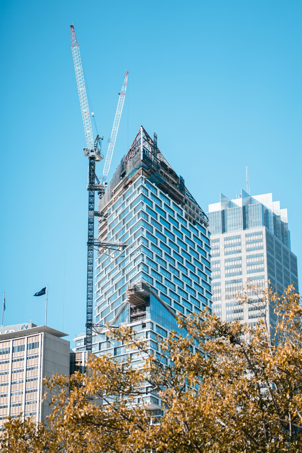 AI-generated
The situation
Surveying a hillside plot above Marbella costs a survey team days. Earthworks invoices are almost impossible to verify without your own measurement. And when disputes over construction progress or workmanship quality arise years later, the dated documentation is missing.
Our approach
A partner from first excavation to handover. The FANTM 4TD delivers RTK terrain surveys, orthophotos and point clouds at ± 3 cm accuracy as a basis for planning, earthworks and permits. Excavation, fill and stockpile volumes are calculated from photogrammetry: check invoices, track earth movements, resolve subcontractor disputes with data. Radiometric thermography checks the building envelope before handover: insulation defects, thermal bridges and moisture are found before the buyer's snag list finds them. And sales begin before completion: footage captured at the exact future floor height shows the buyer the real penthouse view before it exists.
Services at a glance
- RTK terrain survey at ± 3 cm: one flight instead of days of a survey crew on a steep slope
- Volumes proven, not estimated: excavation, fill and stockpiles in m³
- Construction progress documented per milestone: for investor reports, bank releases and disputes
- Building envelope checked before sign-off: lower warranty claims before they arise
- Sales content included: footage from future floor height, golden-hour material, construction progress films
- Flown to your schedule, without stopping a single trade
Promotion & Aerial Media
Surveying and progress documentation deliver the data, the Avata 360 delivers the sales picture: fly-throughs of show apartments and show villas, monthly progress reels for investors and 360° location panoramas from the future floor height for off-plan sales.
- Fly-through of show apartment or show villa
- Progress reel at a fixed rhythm, same flight path
- 360° location panorama: the view from the planned floor
Three tiers for Developers & Construction Companies
From untouched plot to handover: tiers that make every phase of your project verifiable.
Aerial Site
For land acquisition and the start of planning
One-off- RTK-surveyed plot with orthophoto and digital terrain model
- Volume calculation of excavation and fill in m³
- Condition record of neighbouring buildings before construction as evidence
- Export in your formats: GeoTIFF, DXF, LAS / E57, OBJ
- Delivery within five working days of the flight
Aerial Progress
For the ongoing construction phase
Recurring- Everything in Aerial Site
- Monthly construction progress flights from identical angles and heights
- Progress report with orthophoto, oblique imagery and volume comparison
- Progress reel for investors, bank and pre-sales
- Documentation for site diary, interim invoices and variation management
Aerial Launch
For pre-sales, handover and marketing
Project-long- Everything in Aerial Progress
- Thermographic acceptance of roof and facade before handover: moisture and thermal bridges documented
- Single-take signature film and 360° aerial panorama for your sales materials, flown with the FANTM Avata 360
- Reels 9:16 and stills for social media and landing page
- Dedicated contact and prioritised scheduling for the duration of the project
Every package is calculated as a tailored proposal and depends on the property, area, frequency and scope of work. On request, we start with a limited pilot phase.
All packages at a glanceHow it works
Three steps from enquiry to result: an individual proposal, a flight within days, data and report within 48 hours.
Name the project
You name a building, a site or an installation. We reply with an individual proposal, tailored to your project.
We fly
Flown within days: RTK corrected, fully insured, without disturbing your operation.
Data & report
Point cloud, orthophotos, 3D model or condition report within 48 hours, in your formats.
Give us a project
You receive an individual proposal and a pilot flight on special terms for your first property. Dataset and report within 48 hours of the flight.
All enquiries are treated in strict confidence.