
Insurance Brokers & Loss Adjusters
Damage imagery with timestamp and geodata: traceable evidence for storm, hail and water damage, without scaffolding or height access.
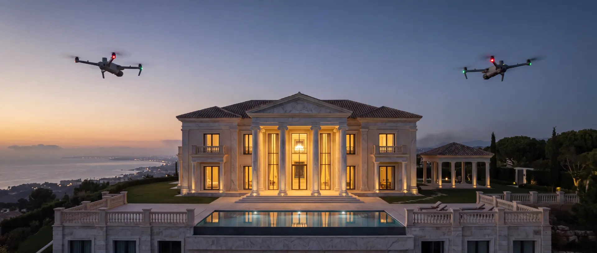 AI-generated
The situation
After a storm, heavy rain or fire, speed is everything. Yet roof damage is barely assessable from the ground, surveyor appointments take time, and contested cases lack robust material. Every day of delay costs money and customer trust.
Our approach
Evidence secured to measurement quality. The FANTM 4TD documents damage at 48 MP resolution with RTK positioning accurate to ± 3 cm: every image is georeferenced, dated and reproducible. Radiometric thermography distinguishes surface damage from moisture that has penetrated, revealing the true extent of the damage before consequential losses occur. The laser rangefinder delivers dimensions and areas directly from the air. The result: a photo-documented, measured damage report within 48 hours.
Services at a glance
- Damage documentation at 48 MP: georeferenced, dated, reproducible
- Thermography separates surface damage from penetrated moisture: the true extent, made visible
- Dimensions and areas via laser rangefinder, direct from the air
- Measured damage report within 48 hours of the flight
- Before-and-after comparisons for existing clients: condition documentation ahead of the claim
- Deployment without entering damaged structures: no risk to personnel
Three tiers for Insurance Brokers & Loss Adjusters
Tiers for property insurers and brokers: evidence instead of opinions, when a claim arises and before.
Aerial Claim
For documenting a single claim
One-off- Deployment within 72 hours of instruction, prioritised after storm events
- High-resolution damage documentation of roof, facade and grounds at 48 MP
- Radiometric thermography: moisture ingress and consequential damage measurably documented
- Georeferenced, time-stamped images as evidence
- Photo-documented report for claims handlers and loss adjusters
Aerial Claim+
For disputed or large-scale damage
One-off- Everything in Aerial Claim
- RTK-surveyed 3D model and orthophoto for area and volume calculation
- Comparison with surveys taken before the event, where available
- Coordination with your loss adjuster and attendance at the site visit on request
- Data handover in your formats: GeoTIFF, DXF, LAS / E57
Aerial Portfolio
For portfolios with recurring inspection needs
Recurring- Everything in Aerial Claim+
- Annual survey of insured properties as a reference in the event of a claim
- Risk report per property: roof condition, moisture, PV systems, vegetation
- Framework agreement with fixed response times after severe weather
- Dedicated contact and reporting across the entire portfolio
Every package is calculated as a tailored proposal and depends on the property, area, frequency and scope of work. On request, we start with a limited pilot phase.
All packages at a glanceHow it works
Three steps from enquiry to result: an individual proposal, a flight within days, data and report within 48 hours.
Name the project
You name a building, a site or an installation. We reply with an individual proposal, tailored to your project.
We fly
Flown within days: RTK corrected, fully insured, without disturbing your operation.
Data & report
Point cloud, orthophotos, 3D model or condition report within 48 hours, in your formats.
Give us a project
You receive an individual proposal and a pilot flight on special terms for your first property. Dataset and report within 48 hours of the flight.
All enquiries are treated in strict confidence.