
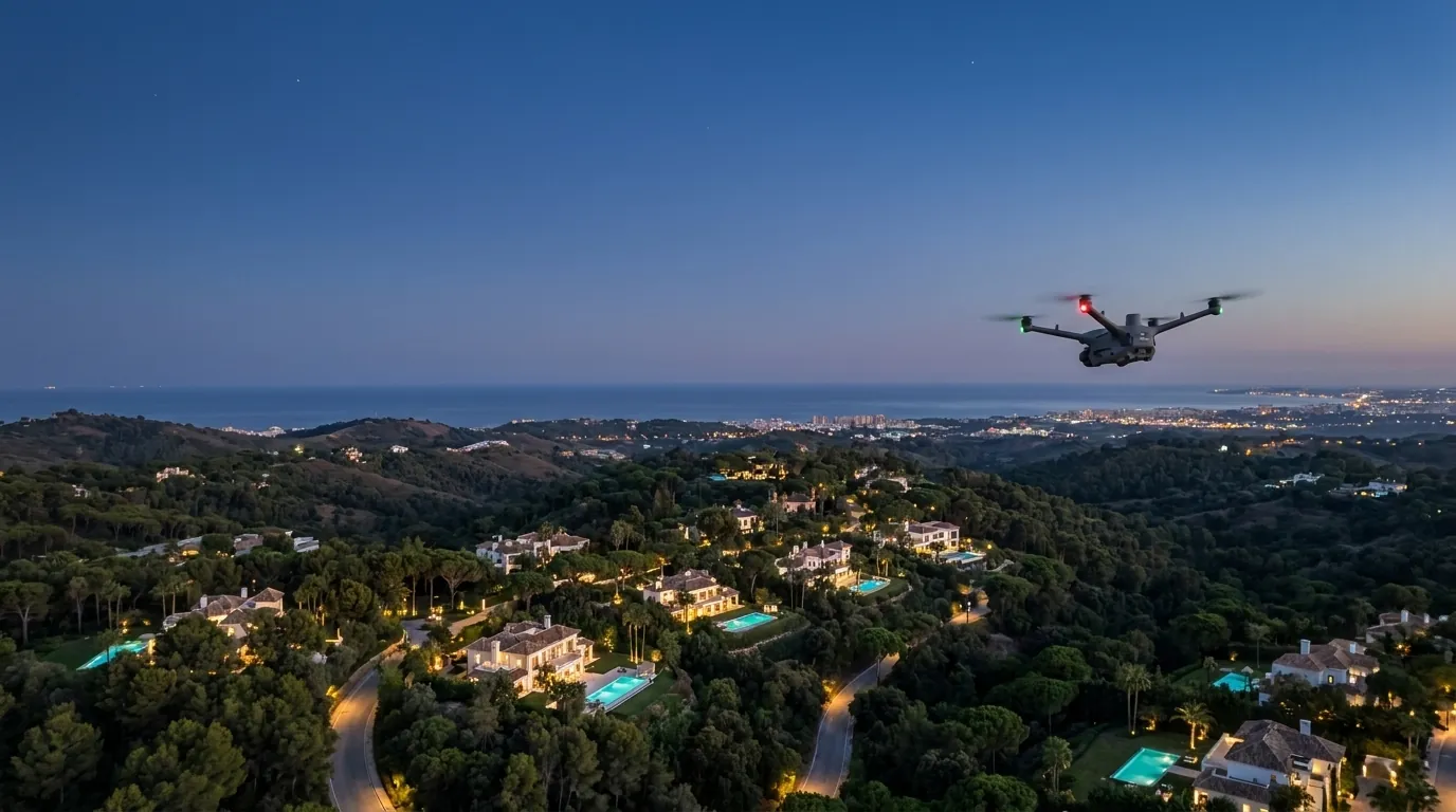
See whatno one sees
FANTM rents out drone technology and flight services to private owners, companies, administrations, security providers and communities: scheduled inspection flights, thermal imaging at night, inspection, surveying and incident flights, integrated into your existing operations.
- EU-registered UAS operator
- Fully insured
- GDPR compliant
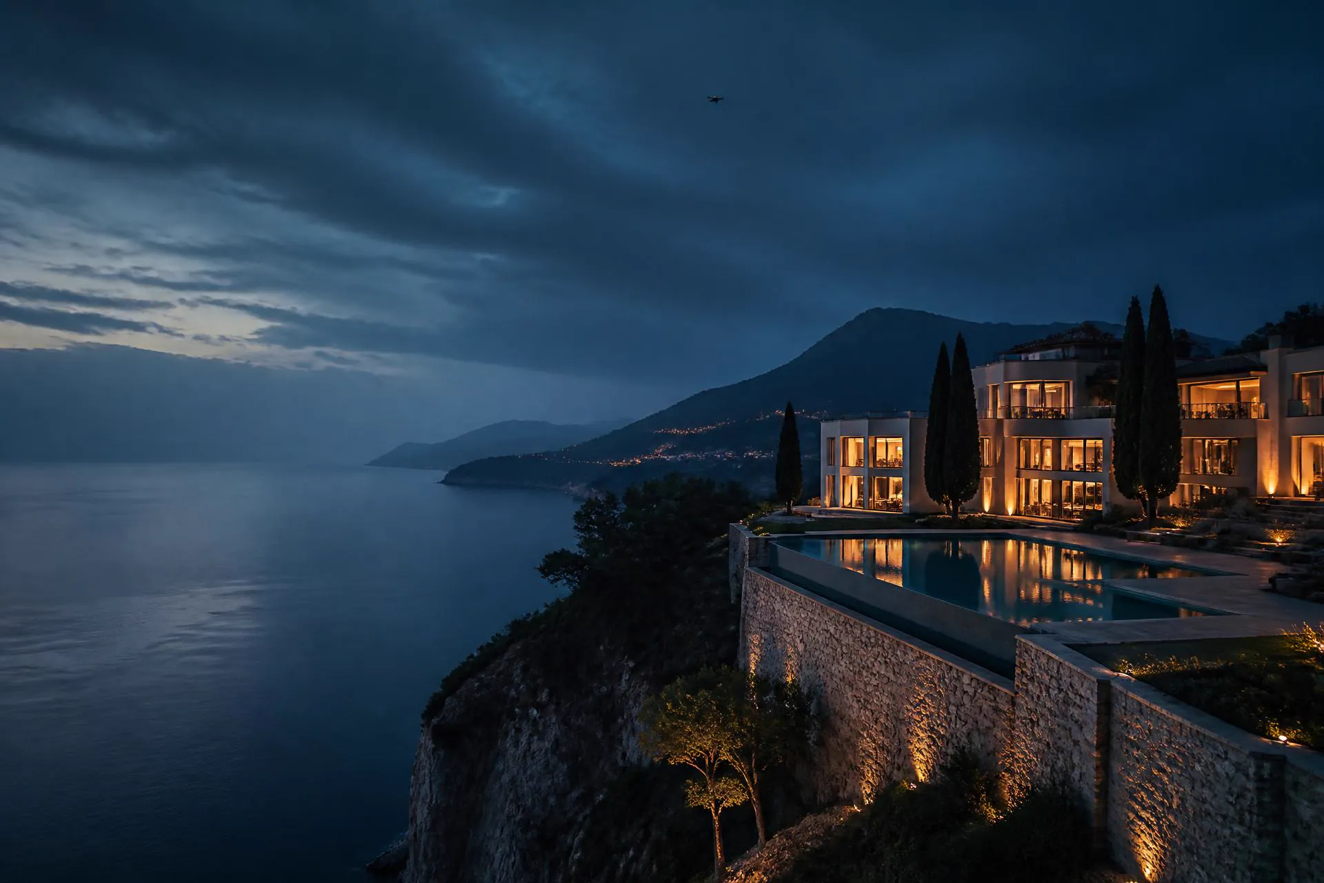
The gap between the gate and the property line
Gatehouse, fence and cameras secure the entrance of your property or development. In between lie hectares that nobody sees: green zones, perimeter sections on the hillside, paths without camera coverage and villas that stand empty for months outside the season.
 AI-generated
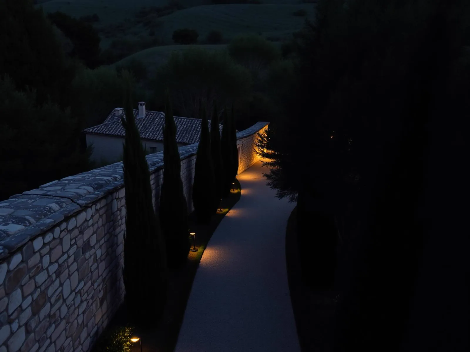
The perimeter is longer than any camera axis
Fixed cameras cover entrances and junctions. The boundary of an urbanisation, by contrast, often measures several kilometres, frequently across vegetated or sloping ground.
 AI-generated
Organised series rather than opportunists
Police have recently broken up several organised burglary series in the villa belt of the Costa del Sol. The patterns are similar: observation from the surroundings, entry across unwatched sections, short windows in the evening.
 AI-generated
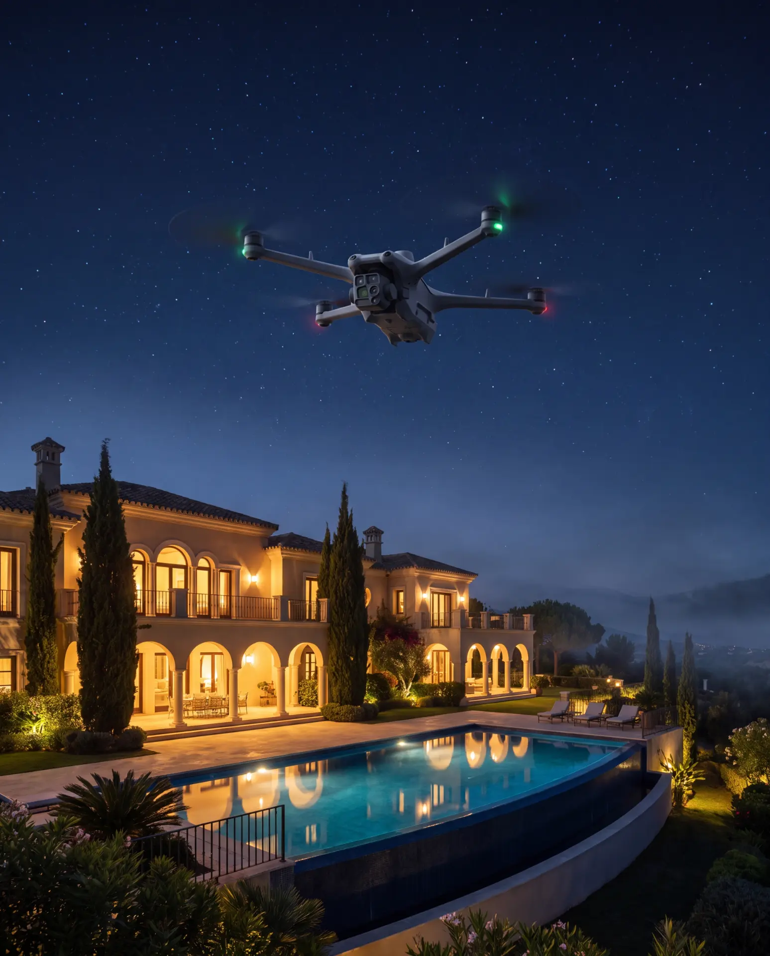
Vacancy for months at a time
Second homes stand empty for long periods outside the season. Whether a shutter has been open for weeks or a gate is damaged is often only noticed from the ground when it is too late.
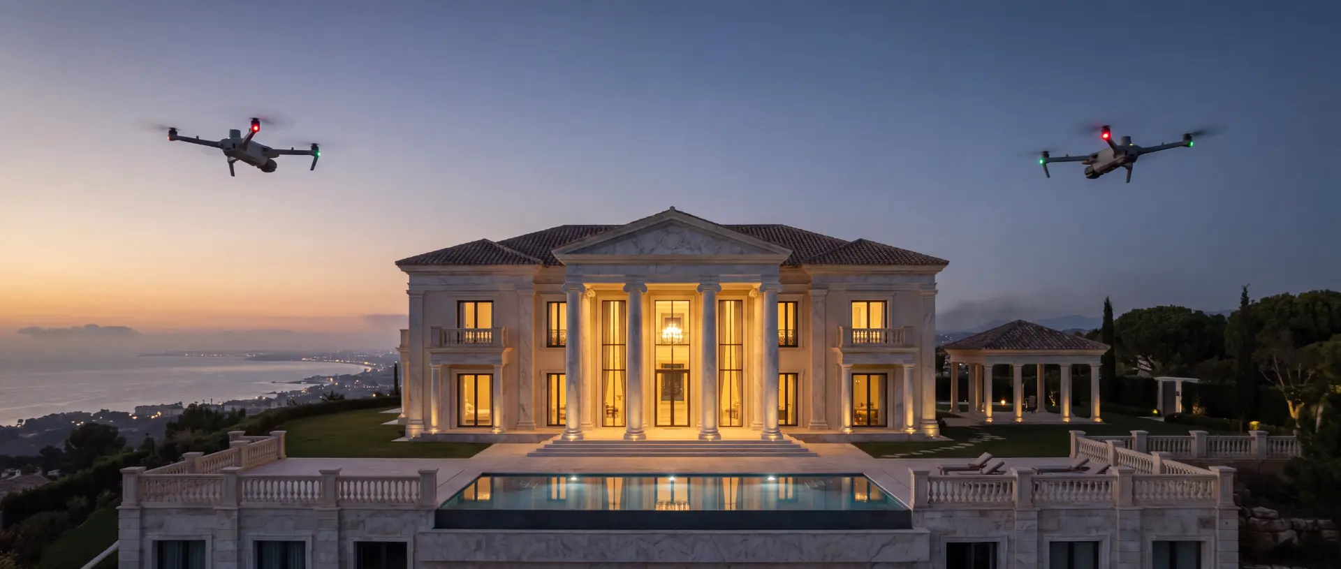
The most secure properties are not those that display their defences. They are those so quietly watched that danger never finds its way in.
One layer above
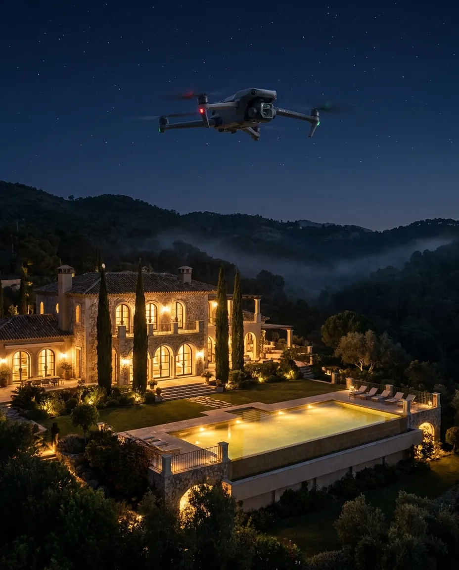
Your property, your business or your development already has a security structure: gatehouse, patrols, cameras and a licensed security provider. FANTM replaces none of it and operates no surveillance of its own. We supply that structure with the aerial layer: technology, pilots and analysis in a rental model.
 AI-generated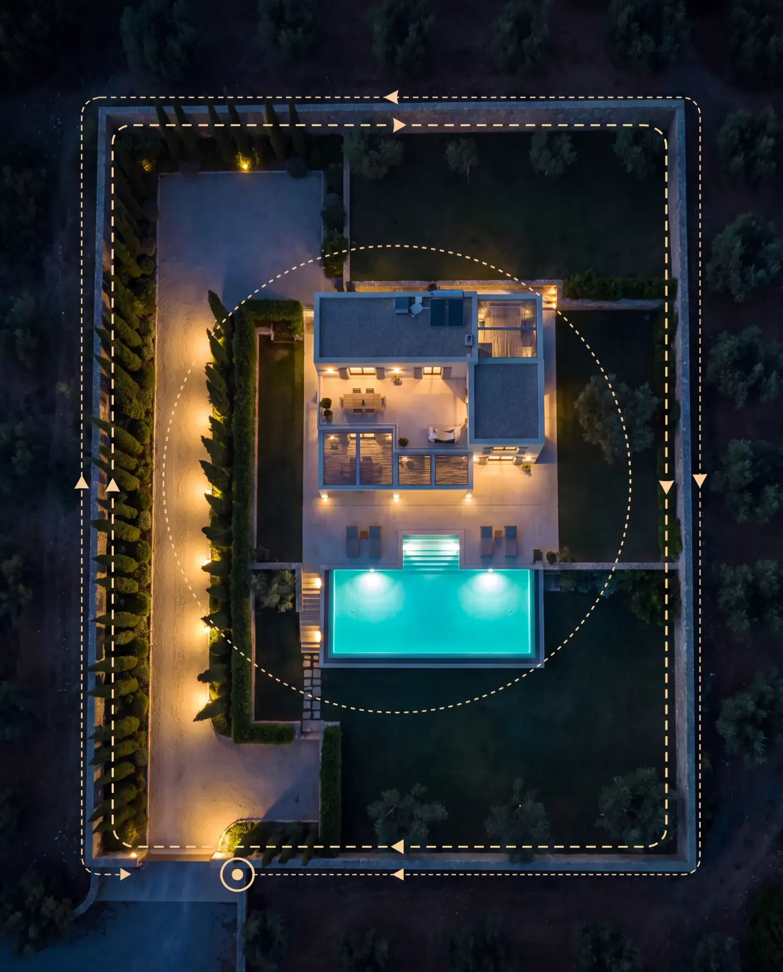
- I
Scheduled inspection flights
Following a flight plan agreed with the administration and the security provider, we inspect communal areas, the perimeter and released zones. By day with high-resolution zoom, by night with radiometric thermography.
- II
Incident flights on call
If the gatehouse or an alarm system reports an incident, we fly the affected section within agreed standby windows and hand the situational picture directly to the security provider on site, who decides on further action.
- III
Documentation and reporting
Every flight is logged. The administration receives a monthly report on perimeter condition, anomalies and the state of the communal facilities, as a basis for the Junta and the owners.
All flight corridors run exclusively over communal areas and expressly released zones. Private plots are only captured with the written consent of the respective owner.
A rental programme instead of a purchase
You do not rent an aircraft but a ready-to-operate programme, whether as a private owner, a company or a community: enterprise technology, certified pilots, insurance, permits, data protection concept and reporting are included. Three tiers, combinable and expandable at any time.
Aerial Check
- Scheduled inspection flights over communal areas and the perimeter at a fixed frequency
- Day and night windows with zoom and radiometric thermography
- Monthly condition report for the administration
Aerial Response
- Everything in Aerial Check
- Incident flights within agreed standby windows
- Direct handover of the situational picture to your development's security provider
- Incident documentation for administration and insurers
Aerial 360
- Everything in Aerial Response
- Condition documentation of the communal buildings: roofs, facades, technical areas
- Vacancy checks for owners at the community's request
- Seasonal report as a template for the owners' meeting
Each programme is calculated as a rental model and depends on the area, frequency and scope of your site. You receive a tailored proposal, on request with a limited pilot phase for your site.
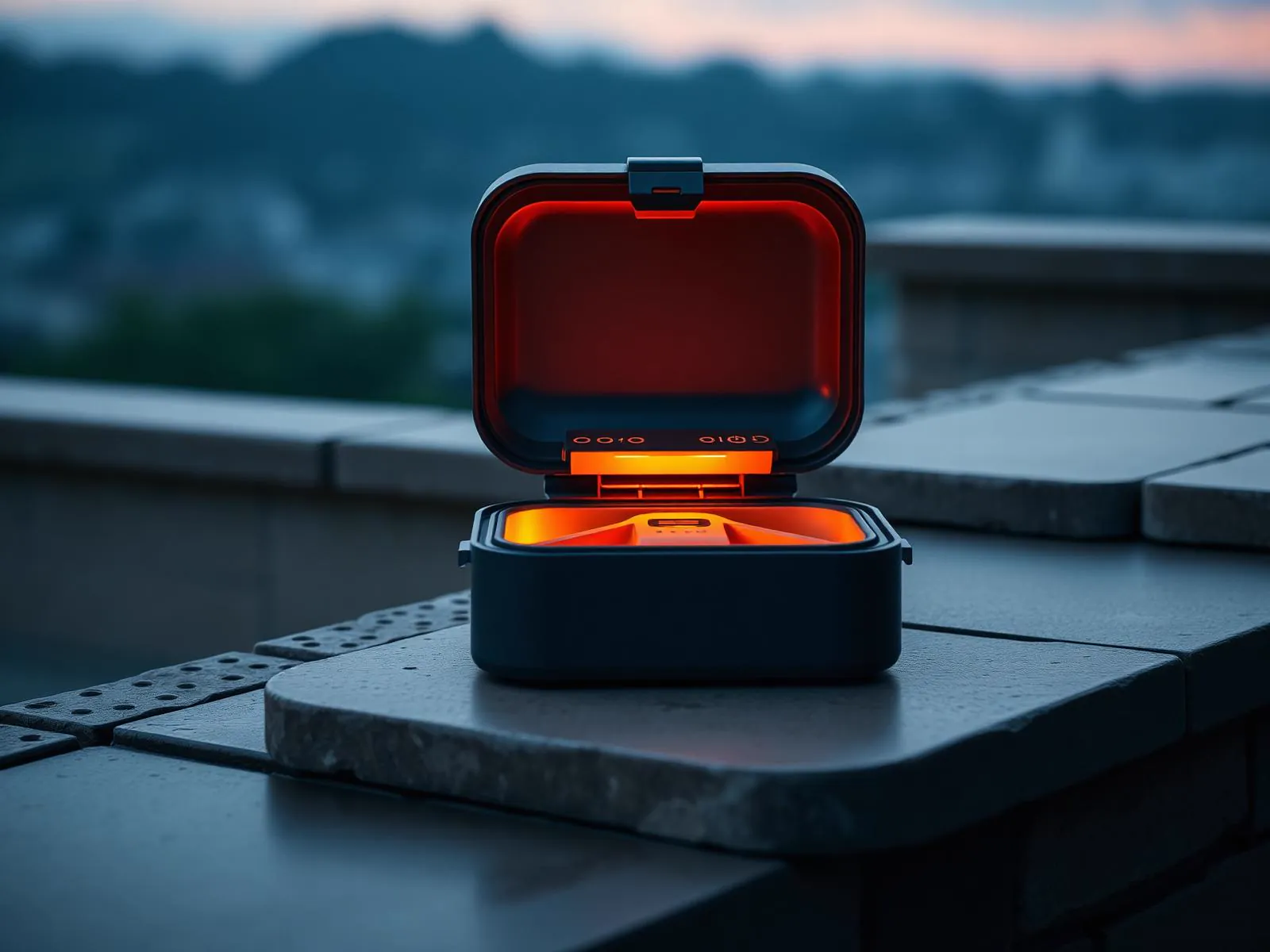
In preparation: autonomous dock operation
We are preparing the operation of stationary docking stations from which inspection flights will in future launch fully automatically. Communities in an active programme are added to the waiting list on request.
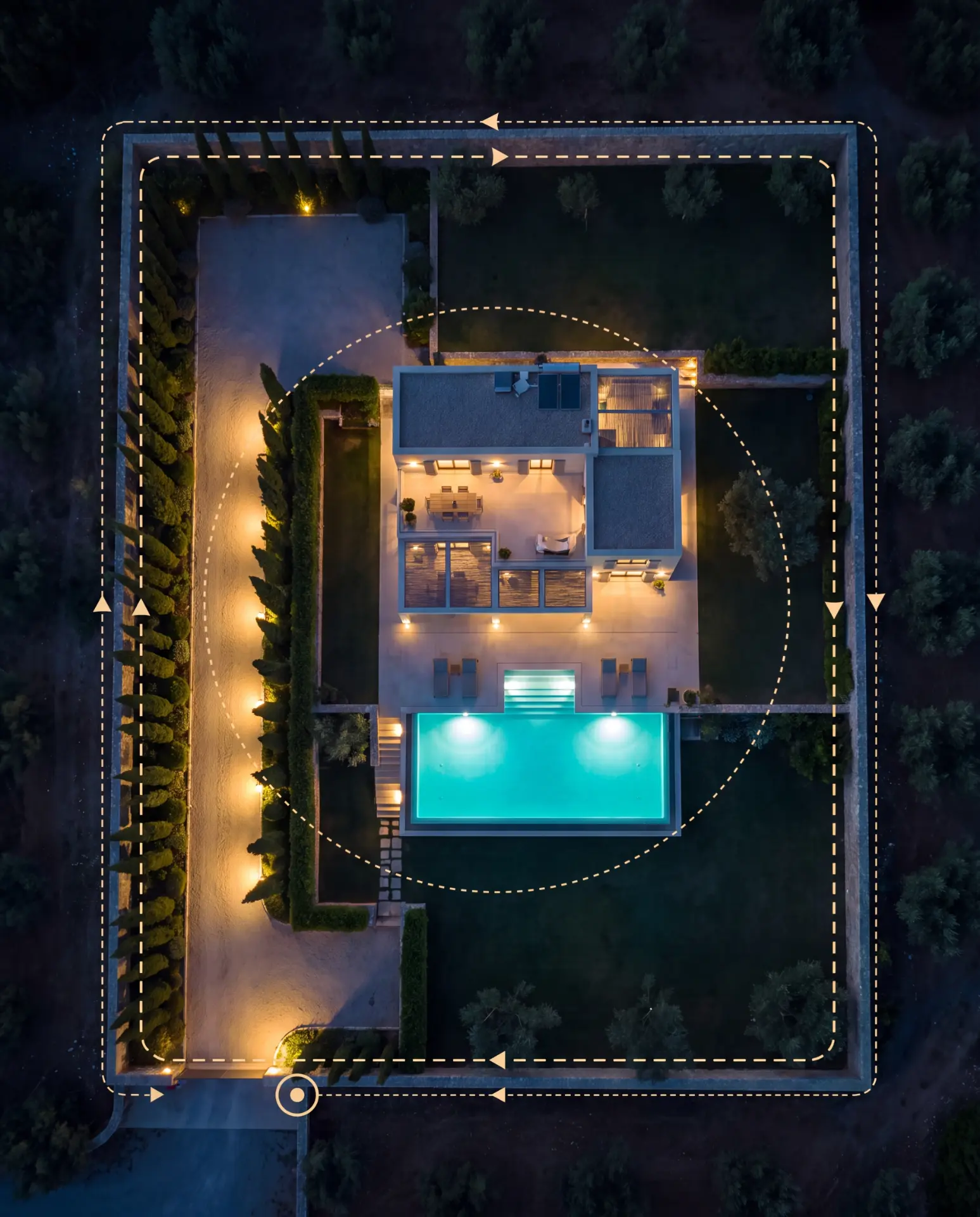
One route Your entire neighbourhood
Our patrols protect more than a single estate: they watch over the whole community. Every route is planned individually, with fixed checkpoints at strategic villas along the perimeter.
A perimeter that never sleeps.
The aerial layer for your portfolio
Already protecting urbanisations on the Costa del Sol? With the FANTM rental model you extend your offering with drone flights and thermal imaging, without owning equipment, employing pilots or handling permits. We fly, you lead the operation.
Request a partnershipWe deliver the decision package
A drone programme for a residential development is a community decision. So that your Junta can vote on a clear basis, we prepare all the documents.
 AI-generated
- Service description and flight-zone plan of your development with all corridors and excluded areas
- Data protection concept following the criteria of the Spanish data protection authority AEPD: data minimisation, signage, information duties and deletion periods
- Template for the overflight release of the communal areas by the Comunidad
- Coordination with the existing security provider and the property administration
Which resolutions your owners' association requires in the individual case is something we clarify together with your administration and its legal advisers.
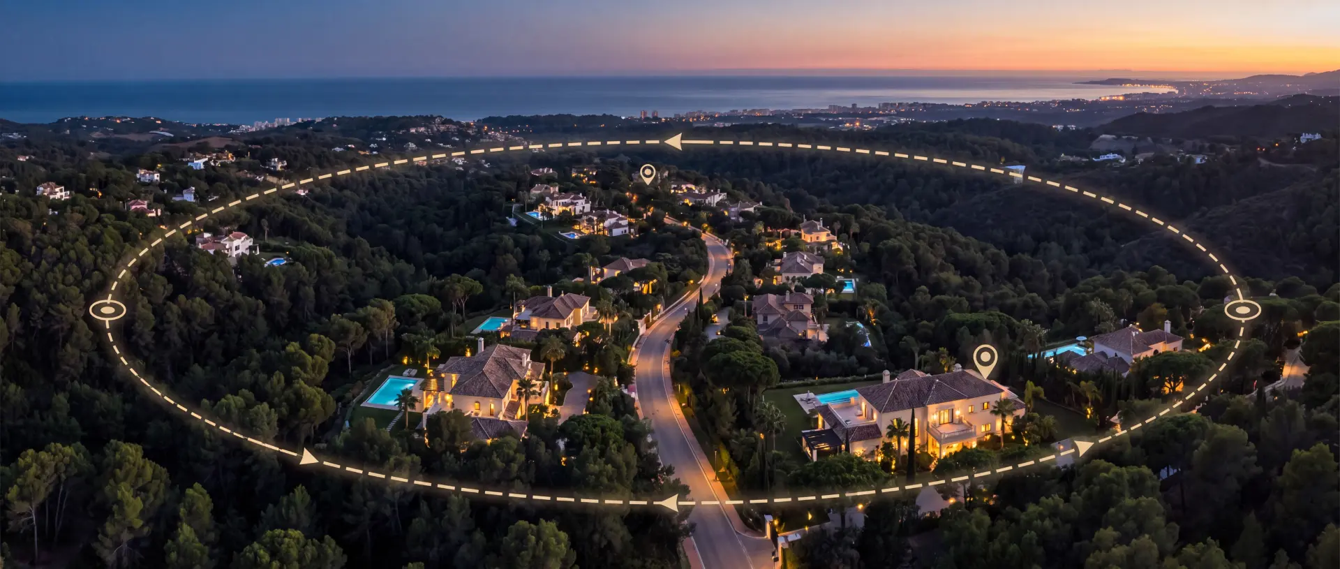
Our patrols protect more than a single estate: they watch over the whole community. Every route is planned individually, with fixed checkpoints at strategic villas along the perimeter.
Permitted, registered, documented
- 01
EU drone regulation
Operation under Regulation (EU) 2019/947 with a C2- and C6-classified enterprise platform, flown by trained pilots within the applicable category.
- 02
Registration of urban flights
Flights over residential areas are registered with the competent authorities within the prescribed lead time. Every mission is planned, released and logged.
- 03
Data protection
Flight corridors exclusively over released areas, no capture of private plots without consent, defined deletion periods and signage of the development. The Comunidad is the controller for the data processing; FANTM acts as processor.
- 04
Cooperation rather than replacement
Security services within the meaning of Ley 5/2014 are provided exclusively by licensed security companies. FANTM supplies technology, pilots and analysis and works in support of your development's security provider.
How it looks in practice
A few representative scenarios show how FANTM works by day and by night. All examples are illustrative and identify no client.
AI-generated01 · The Villa · Owner Abroad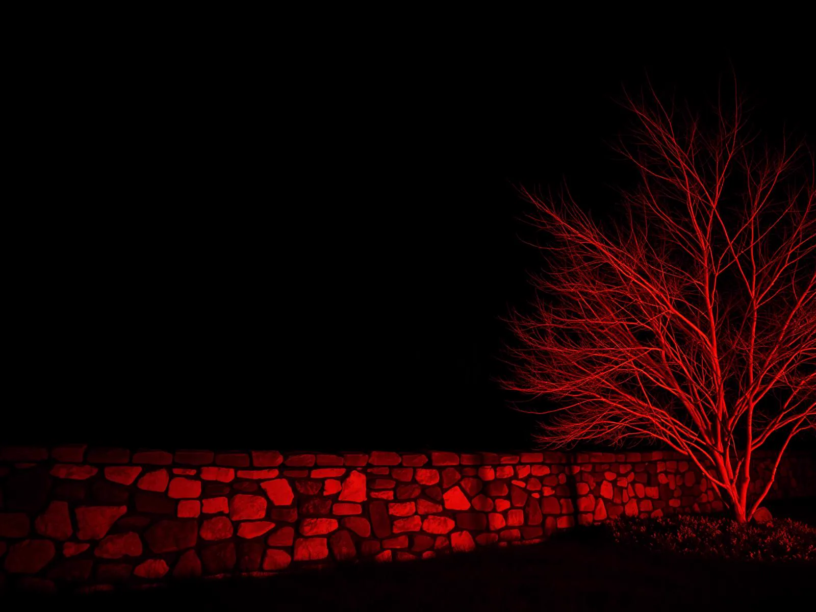 AI-generated02 · The 3 AM Alarm · False Alarm
 AI-generated03 · Property Management · Maintenance
Scenarios are illustrative and do not identify any client.
- Architects & Planning Offices
- Developers & Construction Companies
- Building Management
- Hotels & Resorts
- Golf Clubs
- Solar & PV Operators
- Insurance Brokers & Loss Adjusters
- Roofing & Waterproofing Companies
- Real Estate Agencies
- Marinas, Charter & Car Dealers
The technology behind it
- ± 3 cm
- RTK positioning
- 48 MP
- Photogrammetry & tele-zoom
- 640 × 512
- Radiometric thermography
- 1,800 m
- Laser range finder
- 100 m
- NIR night vision
- approx. 54 min
- Flight time per battery
The FANTM 4TD combines four sensors in a single flight: 48 MP wide-angle, tele-zoom, radiometric thermal camera and laser range finder, RTK-corrected to ± 3 cm. One flight delivers the data foundation for damage analysis, surveying and situational awareness at once.
- EU-registered UAS operator
- Fully insured
- GDPR compliant
- Bespoke proposals, tailored to your requirements
Promotion & Aerial Media
With the FANTM Avata 360 we produce signature films, reels and interactive 360° aerial panoramas from a single flight: for agencies, developers, hotels, golf clubs, urbanisations, marinas and architects.
Three tiers for every sector
Architects need precision, property managers need rhythm, agents need images. That is why every sector at FANTM has three tiers of its own: the foundation, the extension, the full programme. No price list, with a tailored proposal.
What clients ask us first
No, on the contrary. We rent out drone technology and flight services and work in cooperation with your development's licensed security provider, which takes all security-relevant decisions. Security services within the meaning of Ley 5/2014 are provided exclusively by licensed security companies.
Yes, under clear conditions: a classified platform, trained pilots, registration of urban flights with the competent authorities and release of the overflown areas. Communal areas are released by your Comunidad, private plots only by the respective owner.
The programme follows the criteria of the Spanish data protection authority AEPD: firmly defined flight corridors, data minimisation, signage of the development, defined deletion periods and a clear division of roles in which the Comunidad remains the controller and FANTM acts as processor.
The programme is calculated as a rental model and depends on area, frequency and scope. After a community assessment you receive a tailored proposal, on request with a limited pilot phase.
Today, certified pilots fly every mission. Fully automatic operation from stationary docking stations is in preparation; communities in an active programme are added to the waiting list on request.
Yes. Thermography, roof and facade inspections, surveying and all other services remain available, with priority scheduling for communities in the programme. You will find an overview under Further services.
Security services within the meaning of Ley 5/2014 are provided exclusively by state-licensed security companies. FANTM does not operate its own surveillance: we rent out equipment and flight services and work in cooperation with the licensed security provider responsible in each case.
Begin with an assessment
We visit your property, your business premises or your development, prepare the flight-zone plan and a programme proposal as a basis for your decision. The dataset and report for every flight are available within 48 hours.